National Soils Tilth Lab – Prairie City, IA
Project Information
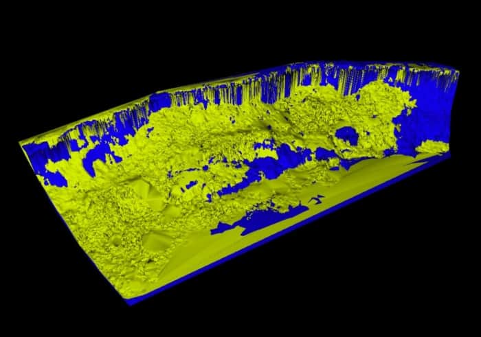
Provide 3D Laser Scanning services to monitor stream bank erosion.
Services Provided
Capture high definition survey data and digital photography at six stream bank locations. These sites are scanned using the same fields of view every spring and fall. The high definition point clouds are compiled to create digital terrain models. The DTM’s are compared with the previous models and quantities of erosion cut and fill are computed for each site.

