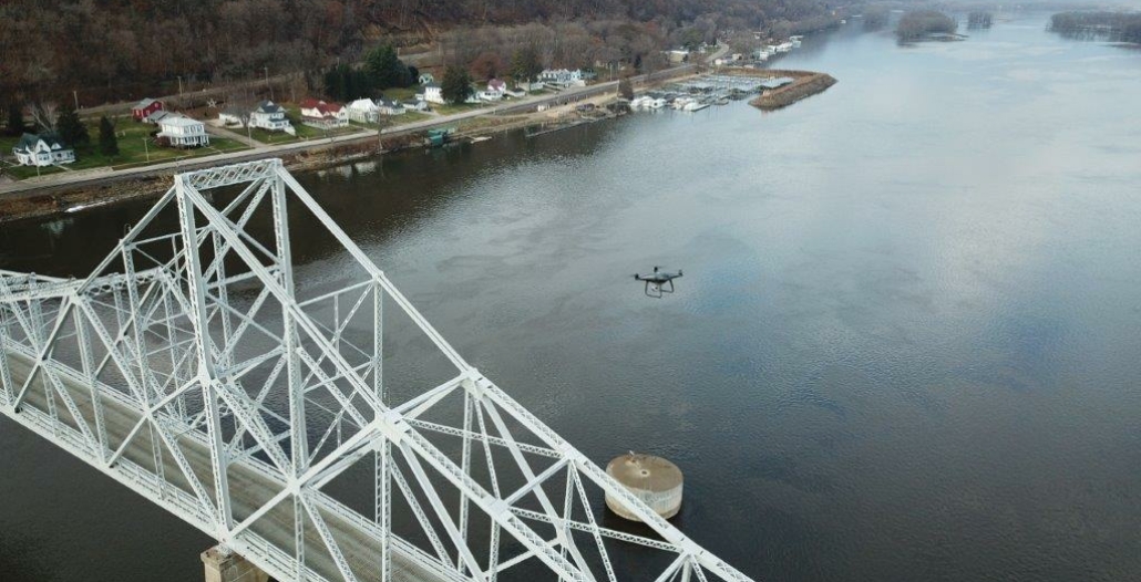
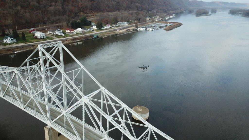
Unmanned Aerial Systems
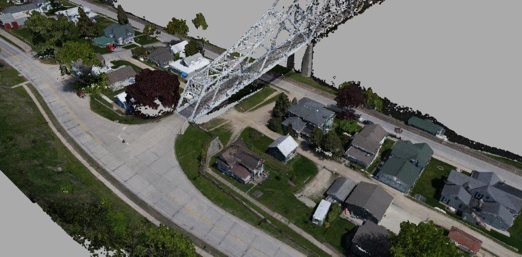
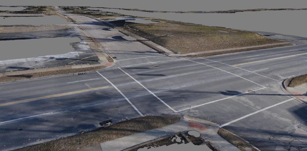
Martin & Whitacre uses drone technology to collect, process and deliver high resolution imagery, point clouds and surface models to our clients. We use a custom built drone system and a proprietary processing workflow to ensure accurate results. The topographic data derived from our low altitude drone imagery typically has a vertical accuracy of +-0.05’ on hard surfaces.

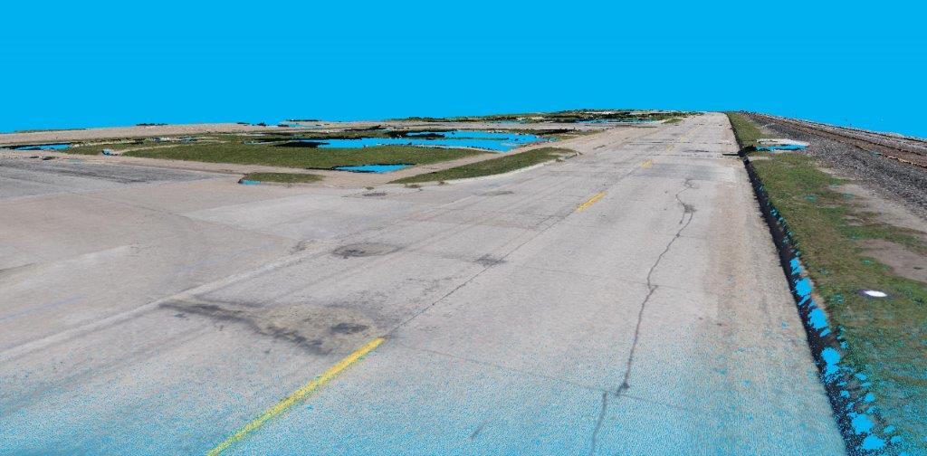
Drone Uses in Surveying / Engineering
- Site topography extracted from Ortho imagery
- High Resolution Ortho site imagery
- High Resolution Oblique site imagery and video
- Quantity Surveys
- Remote inspections
- Deliverables can include DTM, DSM, C3D surface Models, Orthographic Imagery, etc.
Our equipment
- DJI Phantom 4 – Used for quick site ortho imagery, oblique imagery, video and reconnaissance
- Whirrx Custom Hexcopter – Used for high resolution ortho imagery and site topography