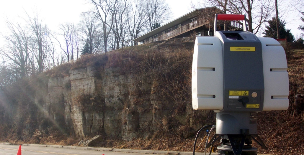
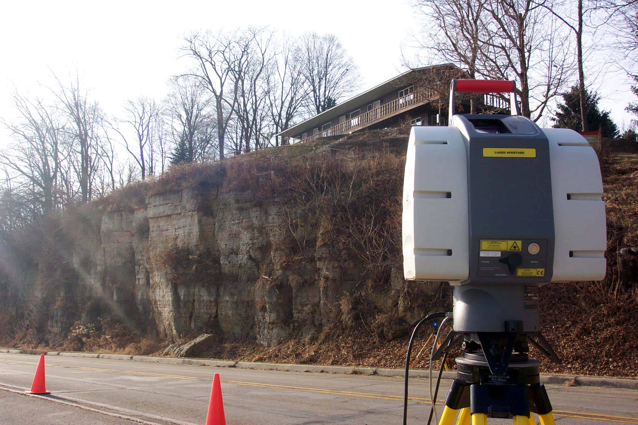
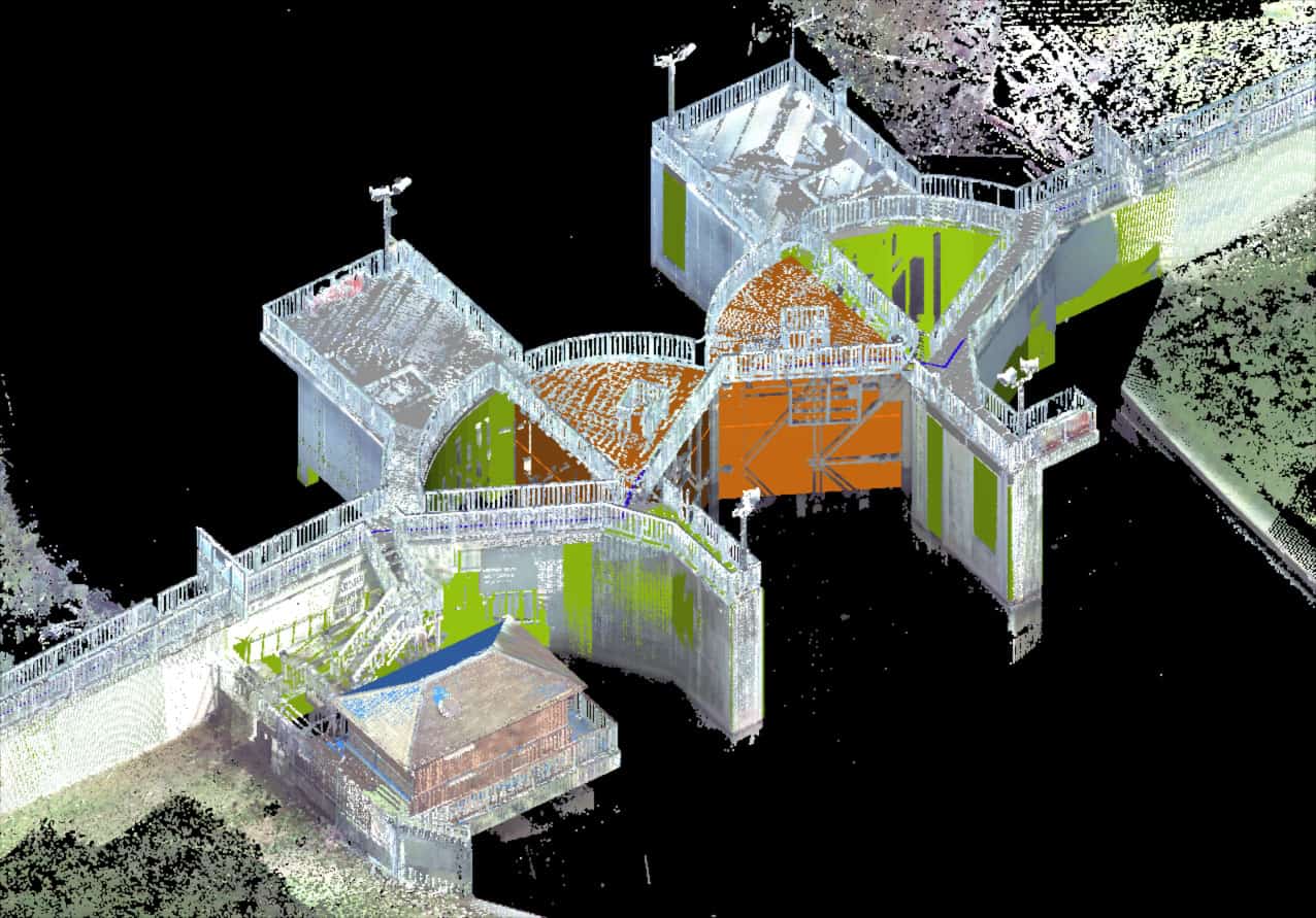
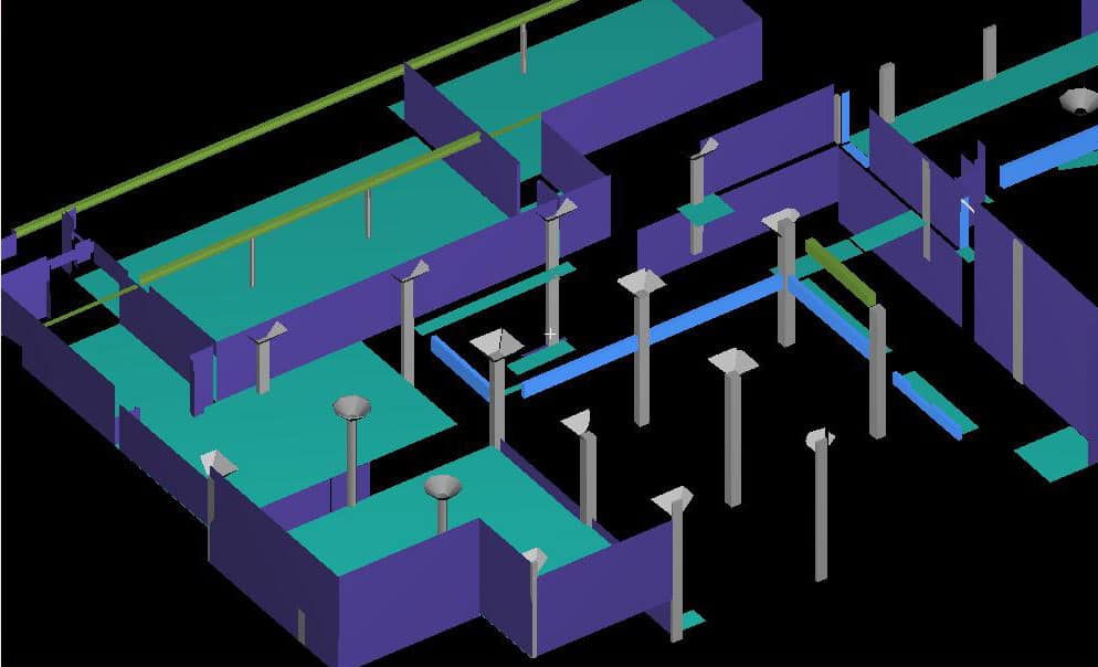
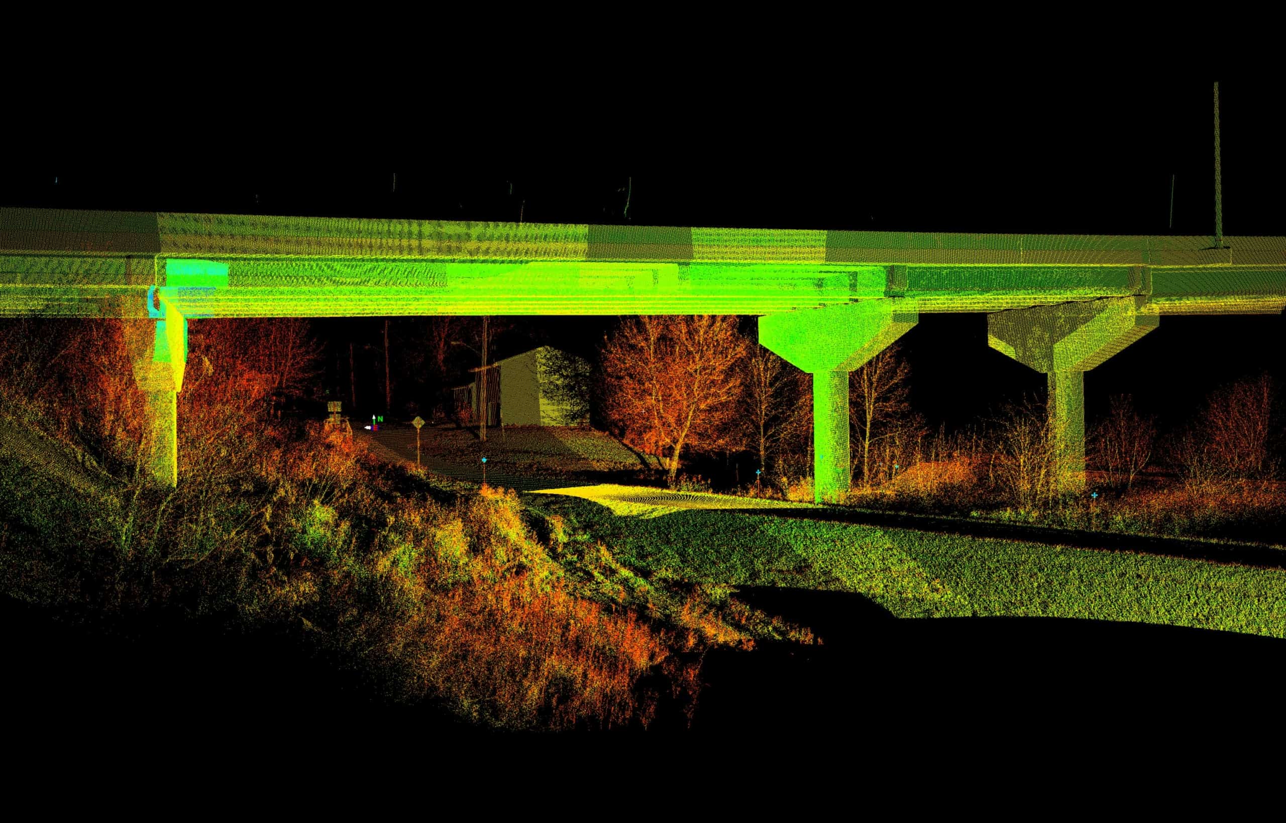
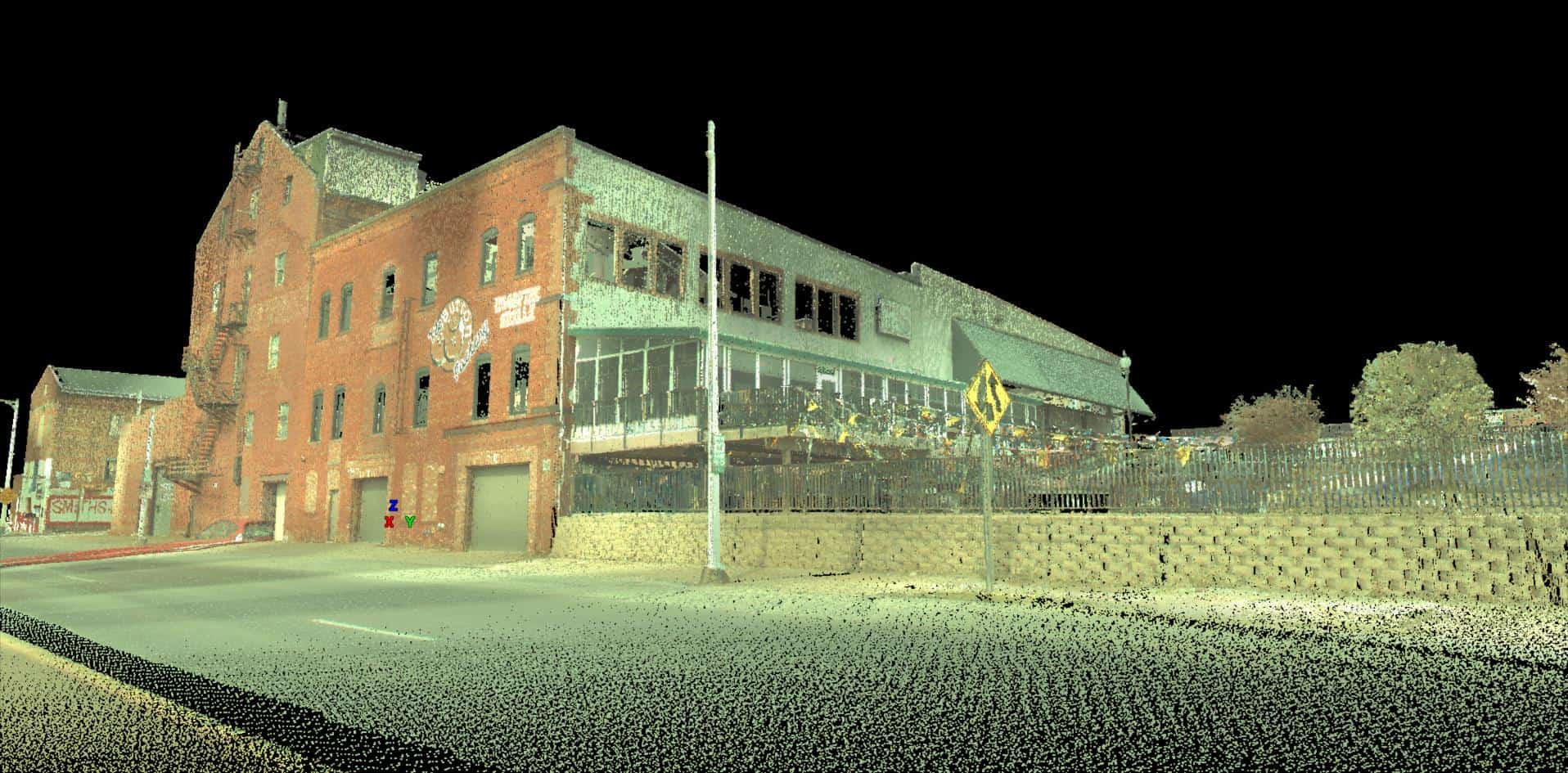
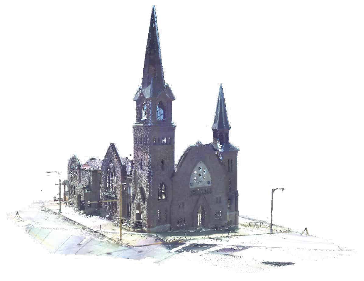
Laser Scanning
We offer 3D Laser Scanning to solve complex surveying and engineering problems. With this technology we can capture millions of data points at hard to reach or dangerous locations with 6mm or better accuracy and no safety hazards. The resulting high density point cloud and digital photo images provide a higher confidence in the accuracy and completeness of the survey. This data can be converted to 2D or 3D drawings for mapping and design work. By starting with higher quality field data, clients can expect a better design and reduced construction risk.

Scanning Services for the following fields
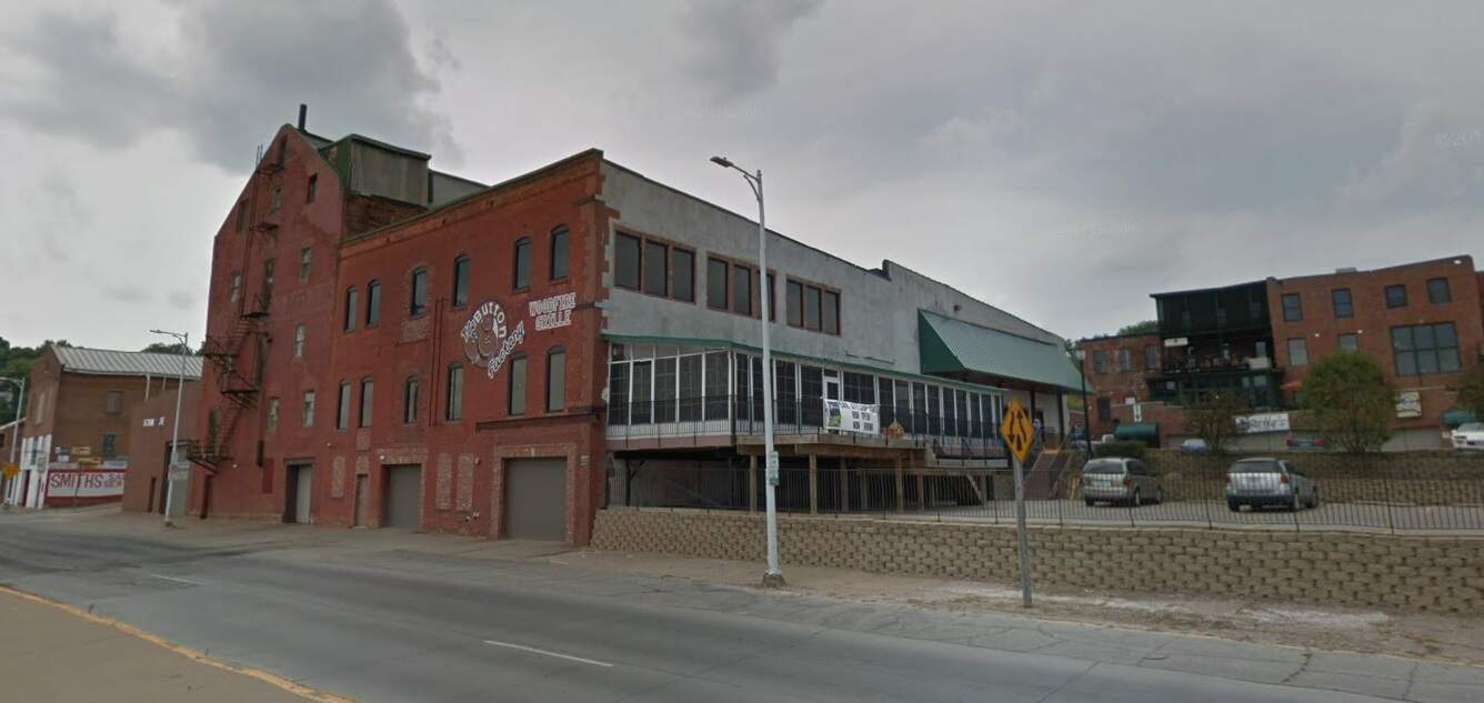
- Historical Reconstruction
- Industrial Sites
- Building facade and interiors
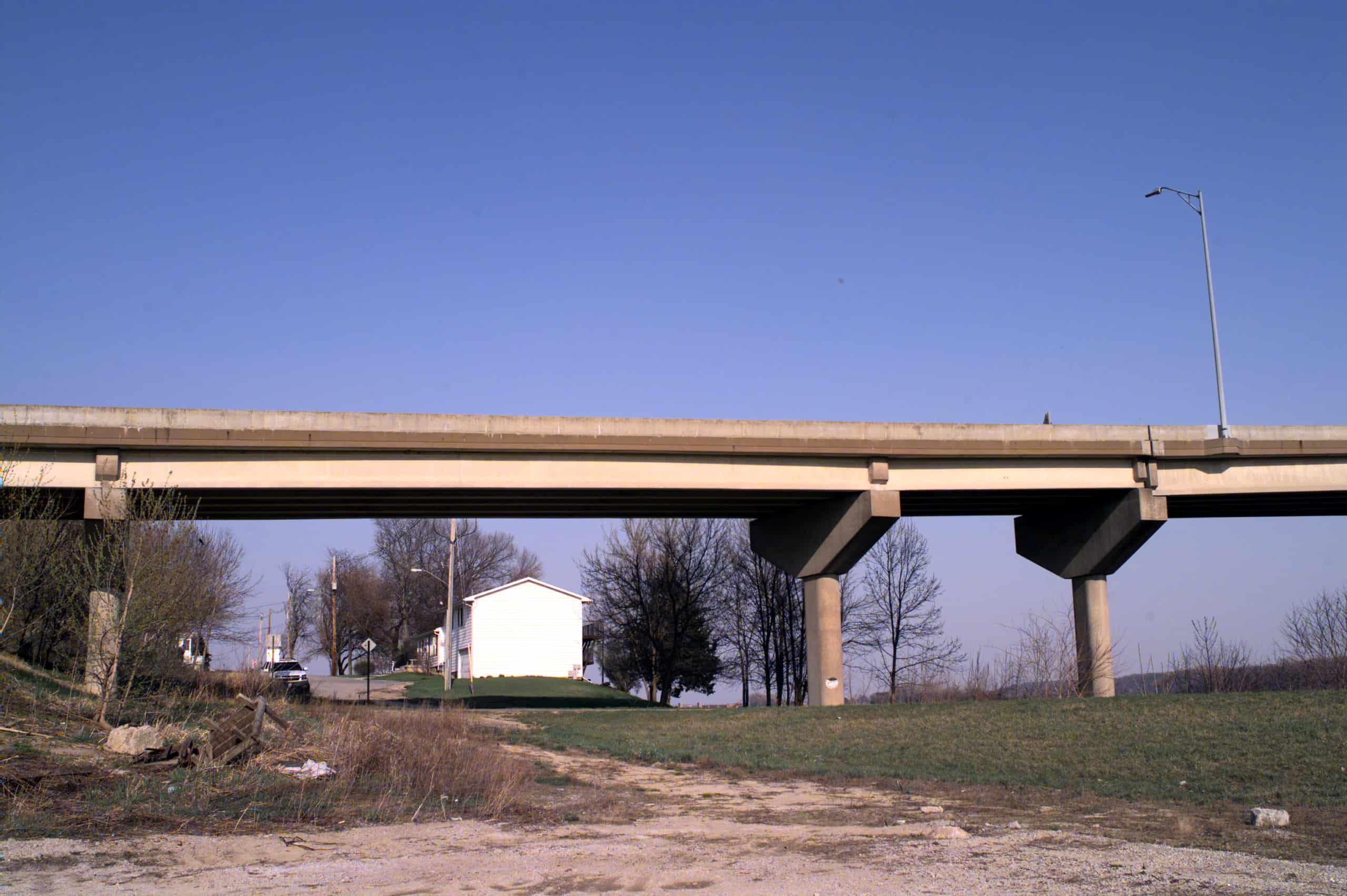
- Transportation Facilities
- Public Infrastructure
- Terrain Modelling
- Volume Metrics